More Top Stories





August 5, 2026
Early primary election results show 33% turnout in Asotin County; sheriff’s race separated by 75 votes
ASOTIN – Preliminary returns from Tuesday’s primary election in Washington show only a 33% voter …Read More

August 5, 2026
Air quality advisory for Hermiston, Ontario and other areas due to smog
HERMISTON AND ONTARIO — The Oregon Department of Environmental Quality (DEQ) has another air quality …Read More

August 5, 2026
Oregon Emergency Management warns of potential wildfire recovery fraud
SALEM – (Press release from the Oregon Department of Emergency Management) As Oregon communities respond …Read More

August 5, 2026
Some evacuation zones in Grant & Wheeler counties reduced near Shingle Fire
DAYVILLE – (UPDATE 8/5 from Grant County Emergency Management) Due to improved conditions surrounding the …Read More

August 5, 2026
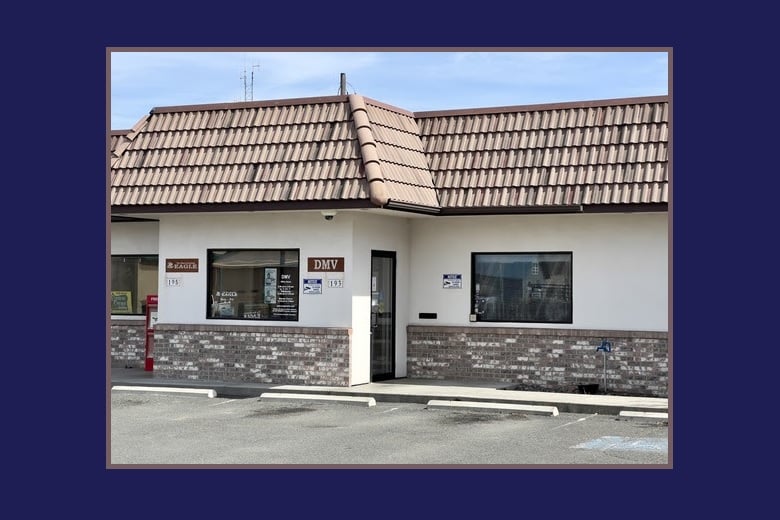
John Day DMV office closed Wednesday, 8/5
JOHN DAY – (From Oregon DMV) “The John Day DMV at will be closed today, …Read More

August 5, 2026
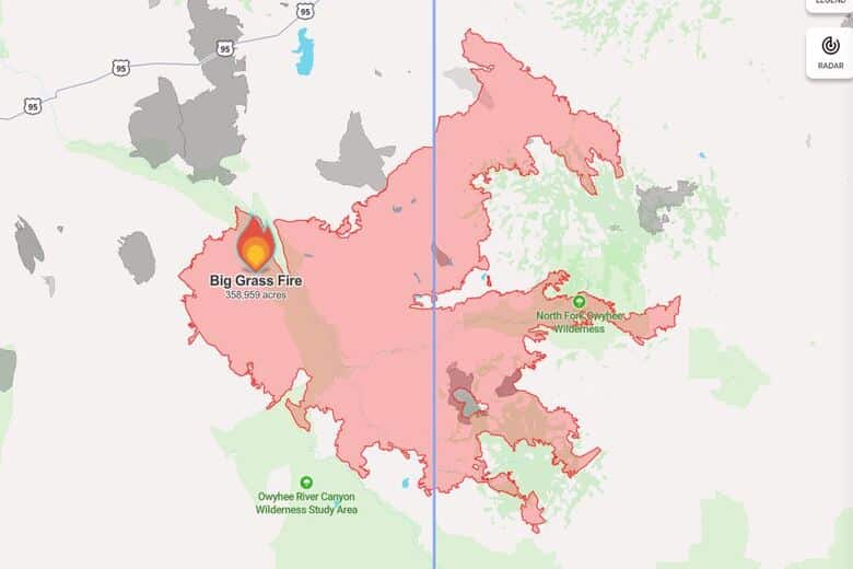
Big Grass Fire incident update as of August 5, 2026
MALHEUR COUNTY- Location: 25 miles SW of Jordan Valley, Acres Burned: 358,959, Containment: 35%, State …Read More

August 5, 2026
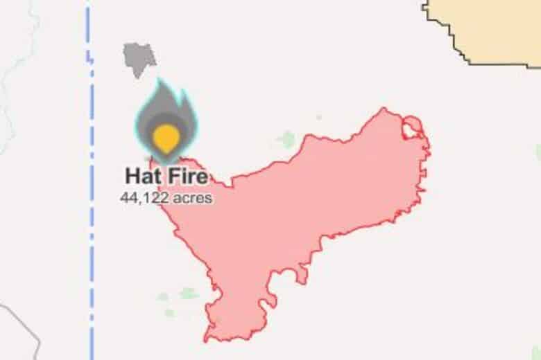
Hat Fire incident update as of August 5, 2026
HARNEY AND MALHEUR COUNTY (Released from the California Interagency Incident Management Team 5)- Location: 40 …Read More

August 5, 2026
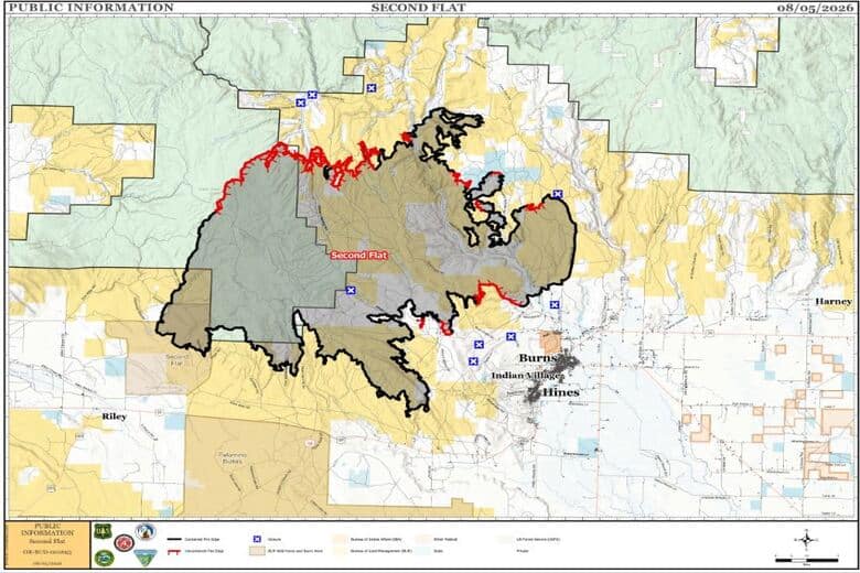
Second Flat Fire incident update as of August 5, 2026
HARNEY COUNTY- Location: Burns Basin, Second Flat, 105,464 acres, 55% contained, Caused: Undetermined, Personnel: 470 …Read More

August 5, 2026
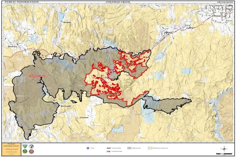
Coleman Creek Fire incident update as of August 5, 2026
HARNEY AND MALHEUR COUNTY- Location: Burns Basin, Start Date: July 25, 2026, Size: 278,128 acres, …Read More

August 5, 2026
Statewide hotline available for Oregonians affected by wildfires
SALEM – (Press release from the Oregon Department of Human Services) People anywhere in Oregon …Read More