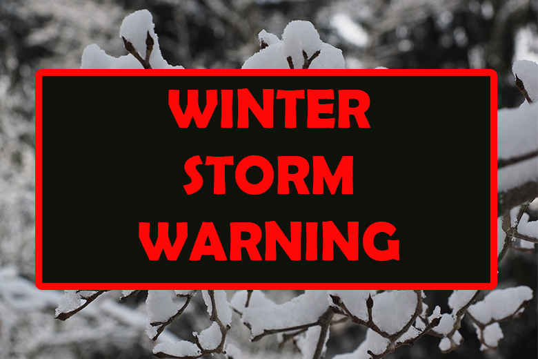
Winter Storm Warnings issued across Northeast Oregon
By Garrett Christensen on Thursday, January 11th, 2024 in More Top Stories Northeastern Oregon News
NORTHEAST OREGON – The National Weather Service has issued a winter storm warning for Union, Baker and Wallowa Counties beginning today and proceeding through the weekend. The warning for Union and Wallowa Counties is as follows:
“WHAT: Heavy Snow Expected. total Snow Accumulations of 10 to 20
Inches. winds Gusting as High As 45 MPH.
WHERE: Grande Ronde Valley and Wallowa County.
WHEN: from 10am Thursday to 4am PST Sunday.
IMPACTS: Travel Could be very Difficult to Impossible. Patchy blowing snow could significantly reduce visibility. The hazardous conditions could impact the morning or evening
commute. Gusty winds could bring down tree branches.
If you Must Travel, Keep an Extra Flashlight, Food, and Water In
your Vehicle in Case of an Emergency.
The Latest Road Conditions Can be Obtained for Oregon by Calling 511 or by Visiting Online at Https://tripcheck.com, or For Washington by Visiting Online at Https://wsdot.com/travel.”
Baker County received its own unique winter storm warning with slightly different information. The Baker County warning is as follows:
“WHAT: Heavy snow expected. The Upper Weiser Basin and Baker County valleys will see totals of 5 to 10 inches through Saturday. In the West Central and Boise Mountains total snow accumulations of 12 to 18 inches in mountain valleys with 20 to 30 inches in the mountains. Wind gusts as high as 45 mph in the mountains.
WHERE: Portions of west central Idaho and northeast Oregon.
WHEN: From 2pm MST /1pm PST/ Thursday to 5pm MST /4pm PST/ Saturday.
IMPACTS: Travel could be very difficult to impossible. Areas of blowing snow could significantly reduce visibility.
If you must travel, keep an extra flashlight, food, and water in your vehicle in case of an emergency.
The Latest Road Conditions Can be Obtained for Oregon by Calling 511.”