Powder River and Fox Fire Daily Update for Friday, July 31, 2026
By Shannon Weidemann (McKone) on Friday, July 31st, 2026 in More Top Stories Northeastern Oregon News
HUNTINGON/RICHLAND (or)Fire updates from the Southwest Area Incident Management Team
TEAM 3 – KEN WATKINS – INCIDENT COMMANDER
Crews strengthen containment lines ahead of high winds
Daily Update for Fox and Powder River Fires: July 31, 2026
Fox Fire
Acres: 75,841
Containment: 58%
Start Date: July 23, 2026
Location: 12 miles northeast of Huntington, Oregon
Cause: Undetermined
Fuels: Grass and Timber
Personnel: 394
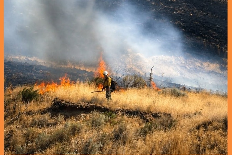
Containment increased from Fox Creek south, around Huntington and north along Highway 84 to its junction with Sisley Creek Road. Crews mopped the fire’s edge near the junction of Hibbard Creek and Lookout Mountain roads to slow its movement towards Sisley Creek Road. Engines mopped up along Daly Creek Road after earlier ignitions and continued lighting north towards Brownlee Reservoir. Helicopters dropped water to support the strategic firing. Crews also advanced contingency line construction in Manning Creek toward Big Lookout Road.
Today, firefighters plan to hold the area ignited yesterday along Daly Creek Road. With forecast high winds tomorrow, the focus will be to strengthen all containment lines. Crews will continue to work the direct edge of the fire near the junction of Hibbard Creek and Lookout Mountain Roads. Dozers will keep building contingency line in Manning Creek.
Southwest Complex Incident Management Team 3 will assume command of the Bob Creek Fire burning near Oxbow, Oregon on Saturday. That fire is currently 831 acres and 15% contained. Operations will begin transitioning with the Type 3 organization managing that fire today.
Powder River Fire
Acres: 21,088
Containment: 96%
Start Date: July 16, 2026
Location: Approximately 5 miles west of Richland, Oregon
Cause: Undetermined
Fuels: Grass, Sage, Timber
Personnel: 51
Resources will continue mop-up and be available for any initial attack.
Evacuations: Evacuation orders are in effect for both the Fox and Powder River Fires. The public is urged to follow directions from the Baker County Sheriff’s Office. More at: https://arcg.is/0iKuO91.
Safety & Closures: Follow Oregon Department of Transportation for highway closures. Snake River Road is closed from Huntington to Richland. Smoke and firefighters may be on roadways. The Bureau of Land Management has issued a closure for lands west of the Snake River. Temporary flight restrictions are in place over the fire areas.
Smoke: Smoke from fires continues to affect portions of eastern Oregon and neighboring areas. For more information: https://outlooks.airfire.org/outlook/ad8568e1
Weather: Continued hot, dry conditions with northwest winds. Temps in the 90s. No showers or thunderstorms.
BLM Fire Restrictions: https://www.blm.gov/sites/default/files/docs/2026-07/orwa-fpo-val-070626.pdf
Previous release
July 30, 2026 https://elkhornmediagroup.com/update-additional-level-3-go-now-evacuation-areas-added-to-fox-fire/
July 27, 2026 https://elkhornmediagroup.com/huntington-under-levle-3-evacuation-notice-fox-and-powder-river-fire-evacuation-updates-in-baker-county/
Find More at https://elkhornmediagroup.com/northeastern-oregon/