Lower Dry Creek Fire: Evacuation levels reduced for Umatilla County communities
By Dan Thesman on Saturday, July 18th, 2026 in Columbia Basin News More Top Stories
UMATILLA COUNTY – As of Saturday afternoon, the Umatilla County Sheriff’s Office has reduced evacuation levels for the Lower Dry Creek Fire.
LEVEL 1 (BE READY)
UMC-123: Includes South Fork Walla Walla River Road.
UMC-075-A: Includes Lincton Mountain Road.
UMC-077-A: Includes Walla Walla River Road and forms the northern boundary of the evacuation area.
LEVEL 2 (BE SET)
UMC-071-E: East of Pine Creek and south of Lower Dry Creek Road.
UMC-071-F and UMC-071-B: West of Highway 11, including Steen Road and York Road north of Highway 11.
UMC-117-C: Includes the Highway 204 and Steen Road area.
UMC-117-D: Includes Couse Creek Road.
UMC-117-E: North and east of Highway 11.
UMC-075-B: North of Basket Mountain Road.
UMC-075-C: Includes Coe Road and Cache Hollow Road
Continue to follow official fire updates at Lower Dry Creek Fire and the most current evacuation Levels for Umatilla County can be found on our webpage Emergency Advisories – Umatilla County including a Current Evacuation Map.
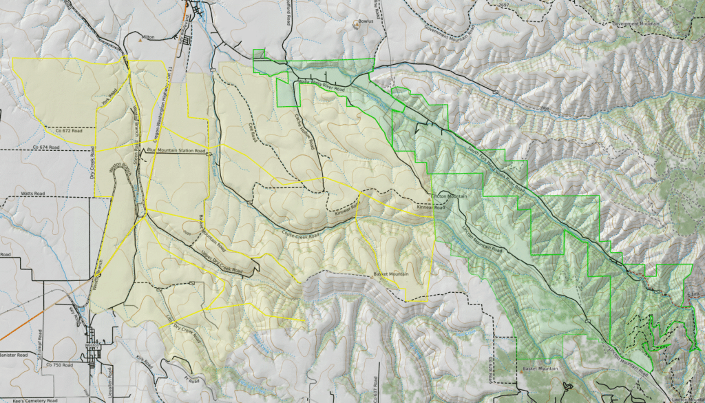
Map courtesy Umatilla County Sheriff’s Office
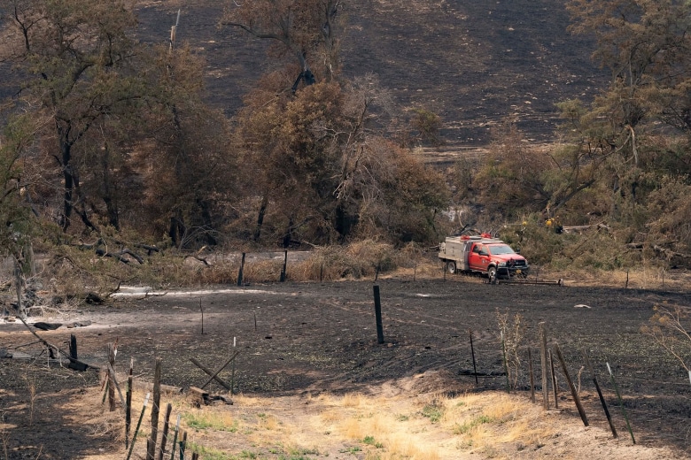
Top photo courtesy Oregon State Fire Marshal Red Incident Management Team