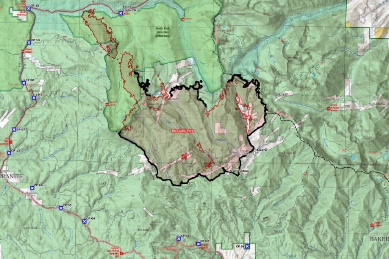
Evacuation levels reduced Monday for McCully Fire
By Griffin Beach on Monday, September 7th, 2026 in Eastern/Southeast Oregon News Eastern/Southeast Oregon Top Stories
BAKER CITY – Evacuation levels for the McCully Fire have been reduced as firefighters made progress with favorable weather over the weekend.
These are the latest evacuation levels as of Monday at 2:18 p.m.:
Grant County Evacuation Areas:
Level 1 (BE READY): East of the 73 Road, West of the North Fork of the John Day Wilderness eastern boundary edge, north of the FS Road 7355, south of the FS Road 680/Granite Creek
Level 2 (BE SET): North of the FS Road 680/Granite Creek, south and east of the 73 Road, west of the North Fork of the John Day Wilderness eastern boundary edge
Combined evacuation area for Baker and Grant counties:
Level 3 (GO NOW): east of the North Fork John Day Wilderness boundary western edge/Mount Ireland, south of the 73 Road, FS Road 380/Peavey Cabin/Cunningham Saddle, west of Cunningham Saddle/Summit Lake/FS Road 200/Cracker Creek Road from the 5540 intersection to Bourne, north of Snell Hollow/7395 Road
The fire is currently 45% contained and has burned 13,535 acres.
Map of McCulley Fire from Wallowa-Whitman National Forest.