Daily Update for Fox, Bob Creek and Powder River Fires: August 6, 2026.
By Garrett Christensen on Thursday, August 6th, 2026 in More Top Stories Northeastern Oregon News
HUNTINGON/RICHLAND — (Update from Southwest Area Incident Management Team) Fox Fire
Acres: 79,003 Containment: 62% Start Date: July 23, 2026 Location: 12 miles northeast of Huntington, Oregon Cause: Undetermined Fuels: Grass and Timber Personnel: 380
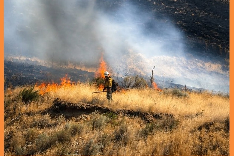
Fire crews continued to mop-up on the west side of the Fox Fire east of Lookout Mountain Road. An additional bulldozer line is being constructed as a firebreak east of Sugarloaf Mountain and west of the Forsea River Ranch to cut off an unburned pocket of the fire. Sprinklers were used to protect structures on the Forsea River Ranch. Several aircraft are being used extensively on these fires, and a single helicopter dropped an impressive 131 water buckets yesterday to support firefighters holding lines on the ground.
Today, mop-up efforts will continue near Lookout Mountain Road. Resources will backhaul equipment and supplies from the contained portions of the fire along Snake River Road and the Interstate 84 corridor. Bulldozers will continue to work on the new line north of Sugarloaf Mountain to contain the most active area of the fire.
Bob Creek Fire
Acres: 851 Containment: 72% Start Date: July 25, 2026 Location: Approximately 1 mile north of Oxbow, Oregon Cause: Undetermined Fuels: Grass, Brush, Timber Personnel: 11
Patrols around the Bob Creek Fire continued yesterday with no heat observed. Unneeded equipment and supplies were returned to the supply cache. Today, personnel and resources are being reassigned to address other wildfire needs in the region.
Powder River Fire
Acres: 21,088 Containment: 96% Start Date: July 16, 2026 Location: Approximately 5 miles west of Richland, Oregon Cause: Undetermined Fuels: Grass, Sage, Timber Personnel: 66
Patrols around the Powder River Fire continued yesterday with no complications. Resources will remain available to assist with initial attack of new fire starts in the area.
Evacuations: Evacuation orders are in effect for the Fox, Bob Creek and Powder River Fires. The public is urged to follow directions from the Baker County Sheriff’s Office. More at: https://arcg.is/0iKuO91.
Safety & Closures: The Bureau of Land Management has issued a closure for lands west of the Snake River and around Oxbow. Recreational boaters are urged to stay clear of aircraft using the Snake River to refill their buckets. Temporary flight restrictions are in place over the fire areas, the area over Bob Creek fire is no longer under a Temporary flight restriction.
Smoke: Multiple smoke outlooks are being reported for the area. To find yours visit: https://outlooks.airfire.org/outlook
Weather: Heat Advisory. Warming temperatures are expected with the high temperature in the upper 90’s. Dryer conditions are also expected with a lower humidity. Northwest winds of 10 – 12 mph are expected over the fire area.
BLM Fire Restrictions: https://www.blm.gov/sites/default/files/docs/2026-07/orwa-fpo-val-070626.pdf