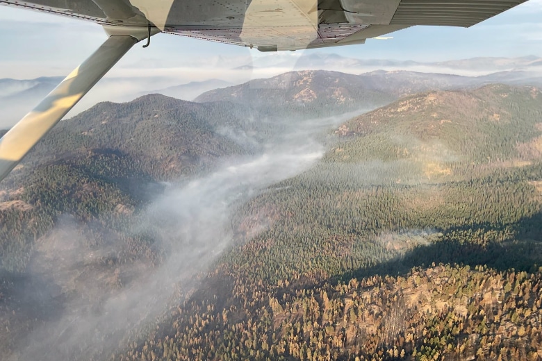
Civil Air Patrol deploys drones, advanced cameras to map Washington wildfire damage
By Dan Thesman on Thursday, August 20th, 2026 in Columbia Basin News Columbia Basin Top Stories
JOINT BASE LEWIS-McCHORD — More than 70 Civil Air Patrol volunteers from across the Pacific Northwest are conducting ground and aerial damage assessments as fast-spreading wildfires continue to burn across Central and Eastern Washington.
Responding to a request from the Federal Emergency Management Agency, members of the Washington Wing, along with volunteers from California, Idaho, and Oregon, have spent the past two weeks gathering high-resolution imagery to aid federal disaster evaluations.
Operations have relied heavily on small, unmanned aircraft systems and newly acquired vehicle-mounted camera systems, marking one of the first major deployments of CAP’s new ground-based imaging technology.
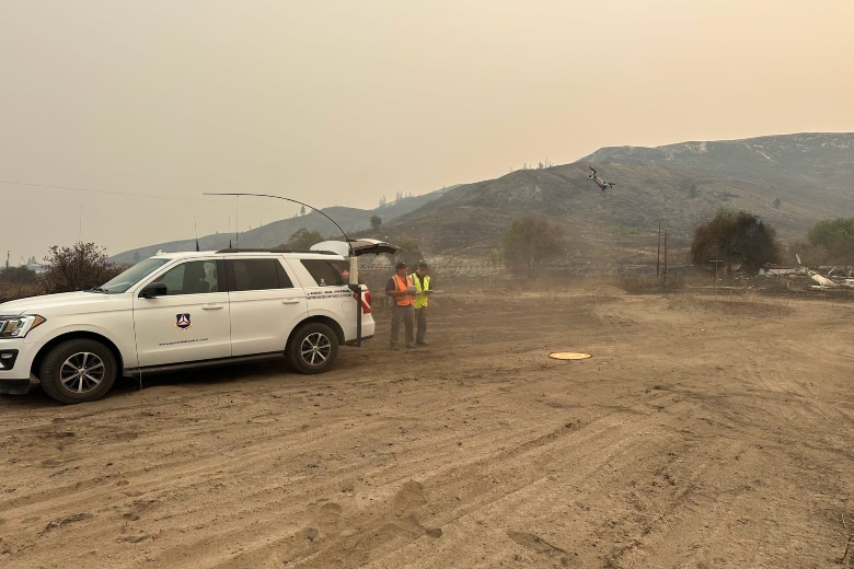
CAP volunteers using drones to assess wildfire damage from the air
“We still have ongoing operations,” Civil Air Patrol Washington Wing Public Affairs Officer Capt. Andrew Kolstad told Elkhorn Media Group on Wednesday.
The Washington Wing, based at Joint Base Lewis-McChord, near Tacoma, was legislatively integrated into the Washington Military Department earlier this year. As the official civilian auxiliary of the U.S. Air Force, CAP provides defense support to civil authorities during domestic emergencies.
Top photo: Civil Air Patrol conducts aerial damage assessments over Washington. (Photos courtesy Civil Air Patrol)